Input of Images:
Input File Format:
The following standard input image file formats are currently supported:
jpg, gif, tif (Ver. 6.0 with no compression), pgm, ppm, bmp, png, pnm, img,
and an internal image format denoted as iip (image interleaved pixels).
The software also supports some of the file formats used in Geospatial Information
Systems (GIS), such as, USGS DEM (Float), ESRI IMG format, HDF4, HDF5, LAN,
GeoTiff and ESRI Shape file format. All GIS related files are loaded with
their georeferencing information that is used for georegistration of raster
and vector data sets.
The software architecture is designed to support images in all existing java data types (byte, short, int, long, float and double). The current support includes byte and short data types of input images.
Loading Images:
(a) Loading full size images from files
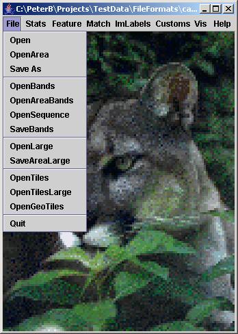
In order to load a full image, select from the File menu of the main frame "Open" and choose a file name.
In addition, it is possible to load a full image from a local hard drive by dragging and dropping a file onto the main I2K frame.
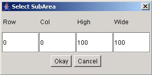
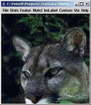
(b) Loading image subregions from files
There is an option to load a
subregion in the case of large original images and a small area of interest.
From the File menu of the main frame, click "Open Area" and select
a file name. Then specify the area coordinates in the SubArea dialog that
is shown next. An example of subarea loading from the above "CAT" image is shown right to
the SubArea dialog.
(c) Loading and combining several full size images or image subregions from files
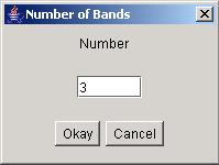
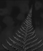
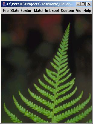
This feature is designed for combining spectral bands or temporal frames from multiple files. For example, it is possible to load multiple bands from several files and combine the bands into one hyperspectral image. This option can be executed by clicking on "OpenBands" from the File menu of the main frame, specifying thenumber of bands (see below the dialog) and combining, for example, the red, green and blue bands of the "FERN" image into one color image (see below).
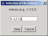
In a case of loading multiple image files that differ by the numerical suffix in their file names, such is the case of temporal frames, an option “OpenSequence” is provided. The file name sequence is created based on one file name and the selected numerical suffixes. The suffixes entered into an edit box (see the Dialog below) can be separated by a comma or by space. In the case of a consecutive range of numerical values, the suffixes can be provided by the first and last numerical values separated by a hyphen. For example, the text entry “1-3, 24 26” would be parsed into the following suffixes: 01, 02, 03, 24 and 26. The number of modified digits depends on the number of digits in the largest suffix.
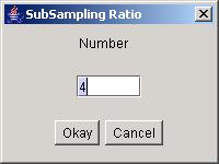
(d) Loading subsampled images from files
If the desired image to be viewed is too large in size and does not fit into RAM of a computer then it is possible to load a subsampled version of the image directly from a file. This feature is executed by clicking on "OpenLarge" from the File menu and entering the sabsampling ratio for both horizontal and vertical image dimensions in the dialog displayed next. Thus, the loaded image will be a subsampled version with a preserved aspect ratio.
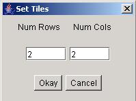
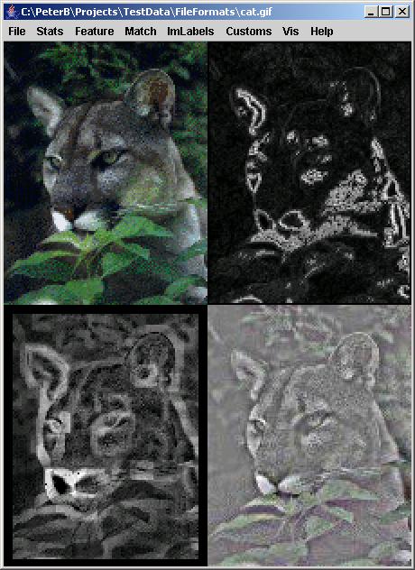
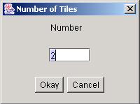
(e) Combining image tiles from multiple files into one image
Many times it is desirable to combine multiple images into one large image. By choosing "OpenTiles", one can define matrix dimensions (number of rows and number of columns) in the presented dialog (see below), and after loading all files form a large image. An example of combining the original image with its post-processed versions is shown below as well.
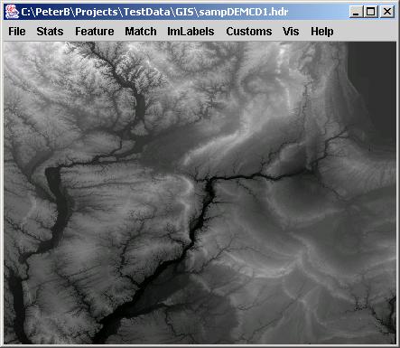
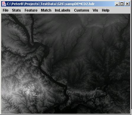
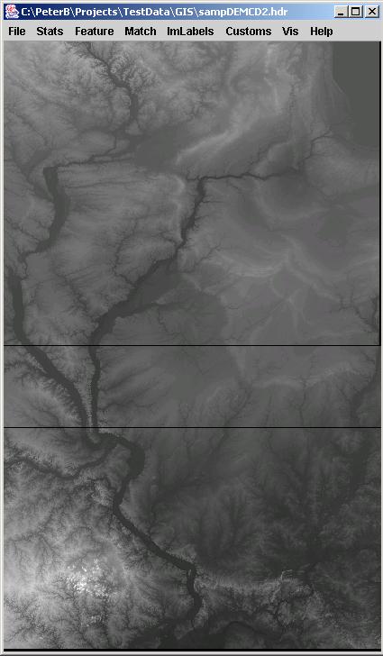
(f) Combining georeferenced image tiles from multiple files into one georeferenced image
Due to the file size of many GIS images, it is very frequent that one has to combine multiple georeferenced images. By choosing "OpenGeoTiles", one can define the number of files to combine and the software would integrate the images automatically based on the available georeferencing information.An example of combining two digital elevation maps is shown below.
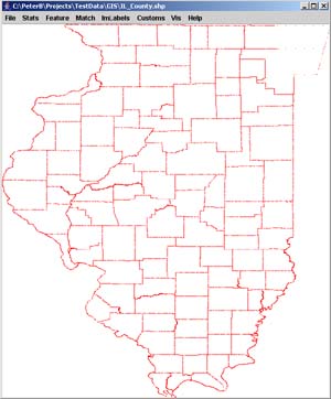
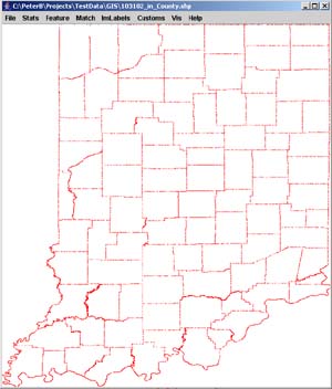
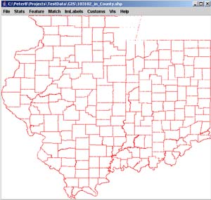
(g) Combining georeferenced ESRI Shapefiles into one georeferenced image
It is also very ften the case that one has to combine multiple vector files with georeferencing information. We support the ESRI Shapefile format for this purpose. By choosing "OpenGeoTiles", one can define the number of files to combine and the software would integrate the images automatically based on the available georeferencing information.An example of combining two ESRI Shapefiles of county boundaries is shown below.